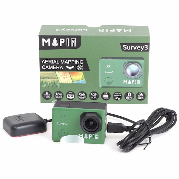
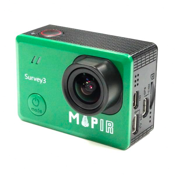
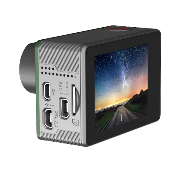
Mapir Survey 3 Multispectral Camera with 87° HFOV Lens
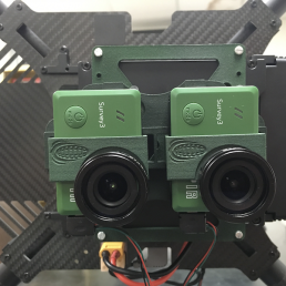
MAPIR Survey3 multispectral cameras come with a range fo six filter options and enable farmers, agriculturalists, etc to effectively manage crops, soil, fertilising, irrigation, etc. MAPIR cameras are widely used for checking a wide range of vegetation, mineral & burn indices (see DESCRIPTION below). SeeSense only stock the wide (87 degree) camera range supplied complete with MAPIR’s advanced GPS module (other options are available upon request).
MAPIR – MAPPING THE INVISIBLE
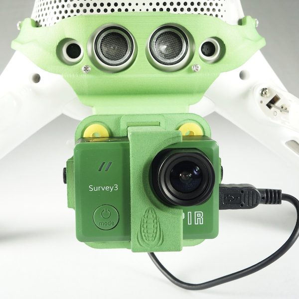
MAPIR multispectral imaging camera sensors can be attached on to drones to enable farmers, agriculturalists, etc to effectively manage crops, soil, fertilising, irrigation, etc. MAPIR Survey3 cameras are compact, affordable and come with a range of 6 filter and 2 lens angle options. SeeSense only stock the wide (87 degree) camera since images using the narrow (41 degree) lens are harder to capture. Please contact us directly if you require any of the narrow (41 degree) camera range.
MAPIR cameras are widely used for checking a wide range of vegetation, mineral & burn indices including:
- Normalised Difference Vegetation Index (NDVI)
- Enhanced Vegetation Index (EVI)
- Chlorophyll Vegetation Index (CVI)
- Modified Sample Ratio (MSR)
- Iron Oxide Ratio (IOR)
- Burn Area Index (BAI)
AND MORE!
For further details of how these cameras are used please refer to each camera below or download our DATASHEET from the TAB below.
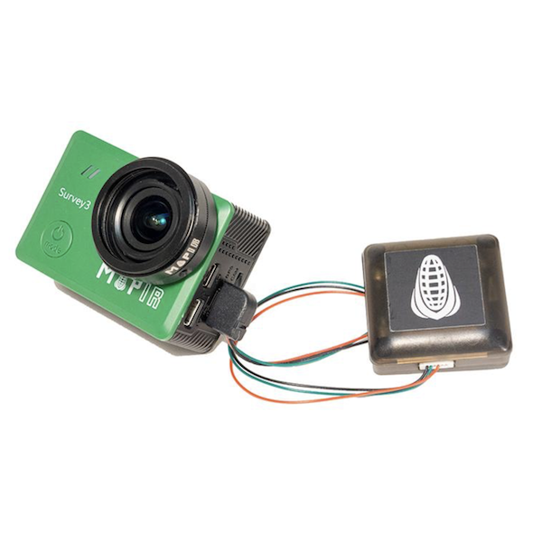
We supply all MAPIR Survey3 cameras with an external advanced GPS receiver (which features newer u-blox NEO-M8 module) providing improved latitude, longitude and altitude location accuracy. This provide instant geo-tagging with every captured image which can be processed on MAPIR, Pix4D, Metashape, DroneDeploy, One Button, C3D, MapsMadeEasy, and other software. Please contact us directly if you require the MAPIR Standard GPS receiver option.
The MAPIR Calibration Ground Target is highly recommended to provide a highly accurate calibrated reflectance values for captured media.
Optional lens protectors are recommended to protect the camera lenses from flying debris during take-off and landings.
Additional information
| Weight | 1.5 kg |
|---|---|
| Dimensions | 30 × 30 × 8 cm |
| Camera Filter Option | Orange + Cyan + NIR (OCN), Red + Green + NIR (RGN), NIR + Green + Blue (NGB), Red-Edge (RE), Near Infrared (NIR), Visible Light (RGB) |
FEATURES
- 12 MegaPixel Image Resolution
- Up to 2160p Video Resolution
- 1/2.3-inch CMOS Sensor
- 6 spectrum options and 87 degree angle of view
- Includes Advanced u-blox NEO M8 GPS (standard GPS available to special order)
– S3W-RGB Visible Light (RGB) camera
– S3W-OCN Orange, Cyan & NIR (OCN, NDVI) camera
– S3W-RGN Red, Green & NIR (RGN, NDVI) camera
– S3W-NGB NIR, Green & Blue (NGB, ENDVI) camera
– S3W-RE Red-Edge (RE) camera
– S3W-NIR Near Infrared (NIR) camera
SPECIFICATIONS
Basic specifications (See DATASHEET for full details)
| Sensor | 1/2.3″ CMOS 12MP (4000×3000 px) Sony Exmor R IMX117 (Bayer RGB) sensor, pixel size 1.4μm x 1.4μm, with Novatek NTK96663 Chipset |
| Image Format | RAW (12 bit) + JPG (8 bit per channel |
| Lens | 19mm 87 degree HFOV F2.8 lens |
| Ground Sample Distance | Lens 5.5cm/px @ 120m above ground level |
| Weight | 76 grammes including battery |
| Dimensions | 59 x 41.5 x 36 mm |
APPLICATIONS
- Aerial Multispectral Imaging
- Crop Inspection
- Checking vegetation indices
- Crop consulting
- Irrigation management
- Crop spraying
IN THE BOX
- Mapir Survey 3 camera
- u-blox NEO M8 Advanced GPS Receiver
- Battery
- User guide
You may also like…
Back-Bone H8PROIR Modified GoPro Hero8 Camera
£730.00 (including VAT £876.00)
Back-Bone Ribcage RX0 II Camera
£1,090.00 (including VAT £1,308.00)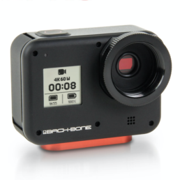
Back-Bone H8PRO Modified GoPro Hero8 Camera
£710.00 (including VAT £852.00)Related products
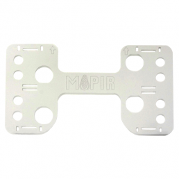
Mapir DJI Phantom 4 / 3 Drone Static Quad Mount for Survey3 Cameras
£30.00 (including VAT £36.00)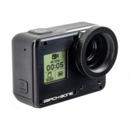
Back-Bone H5PRO Modified GoPro Hero5 Camera
£460.00 (including VAT £552.00)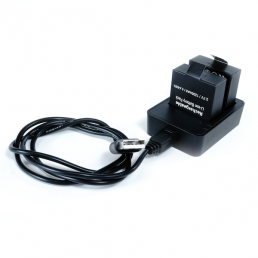
Mapir Survey3 Dual Battery Charger
£20.00 (including VAT £24.00)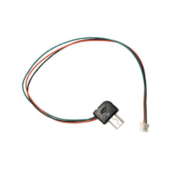
Mapir Spare Cables for Advanced GPS Receiver
£10.00 – £30.00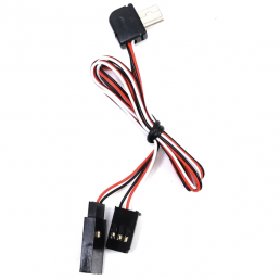
Mapir Survey3 Camera USB Power and FPV Cables
£10.00 – £30.00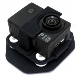
Mapir 3DR X8 Drone Mounts for Survey3 Cameras
£60.00 – £80.00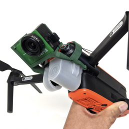
Mapir Autel EVO Drone Single Tilted Mount for Survey3 Cameras
£70.00 (including VAT £84.00)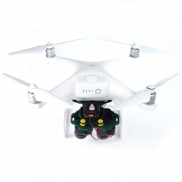
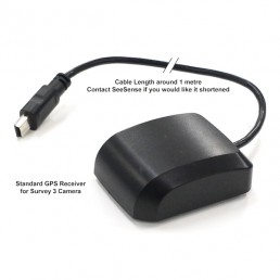
Mapir Survey3 Standard GPS Receiver
£20.00 (including VAT £24.00)
SeeSense 12mm diameter FULL HD Remote Head Lipstick Camera
£2,220.00 (including VAT £2,664.00)
Mapir DJI Inspire 2 Drone Mounts for Survey3 Cameras
£80.00 – £100.00